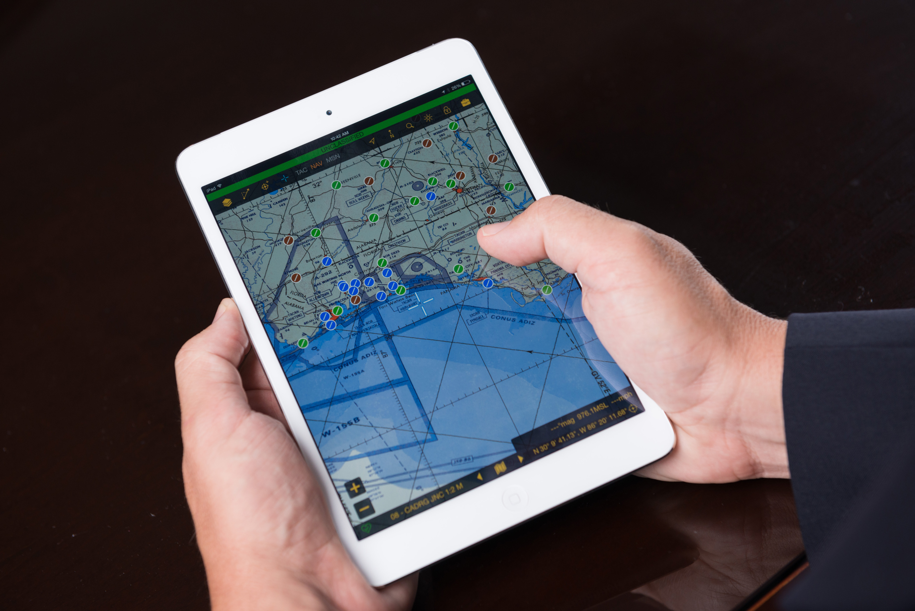
FalconView® is a multi-platform mapping and mission planning application developed by the Georgia Tech Research Institute for the United States Department of Defense. With a 25-year history of active development, the software has become a de facto standard within the U.S. DoD as well as various Federal Agencies and Allied Nations.
FalconView® displays a wide variety of maps and geographically referenced overlays. The primary map types that FalconView supports include aeronautical charts, satellite imagery, and elevation maps. FalconView also supports a large number of overlay types that can be displayed and printed over any map background. The current overlay set is oriented toward mission planning and is primarily used by aviators and aviation support personnel. Source data is distributed by the National Geospatial-Intelligence Agency (NGA).
FalconView® also serves as the moving-map display on several airborne/land/sea platforms. Service-specific versions of FalconView form the mapping foundation for the Joint Mission Planning System (JMPS), Aviation Mission Planning System (AMPS), as well as the legacy DoD Portable Flight Planning Software (PFPS).
Have a question?

Laboratories

The Information and Communications Laboratory is a fundamental and applied research laboratory focused on transdisciplinary research across the entire information science hierarchy.